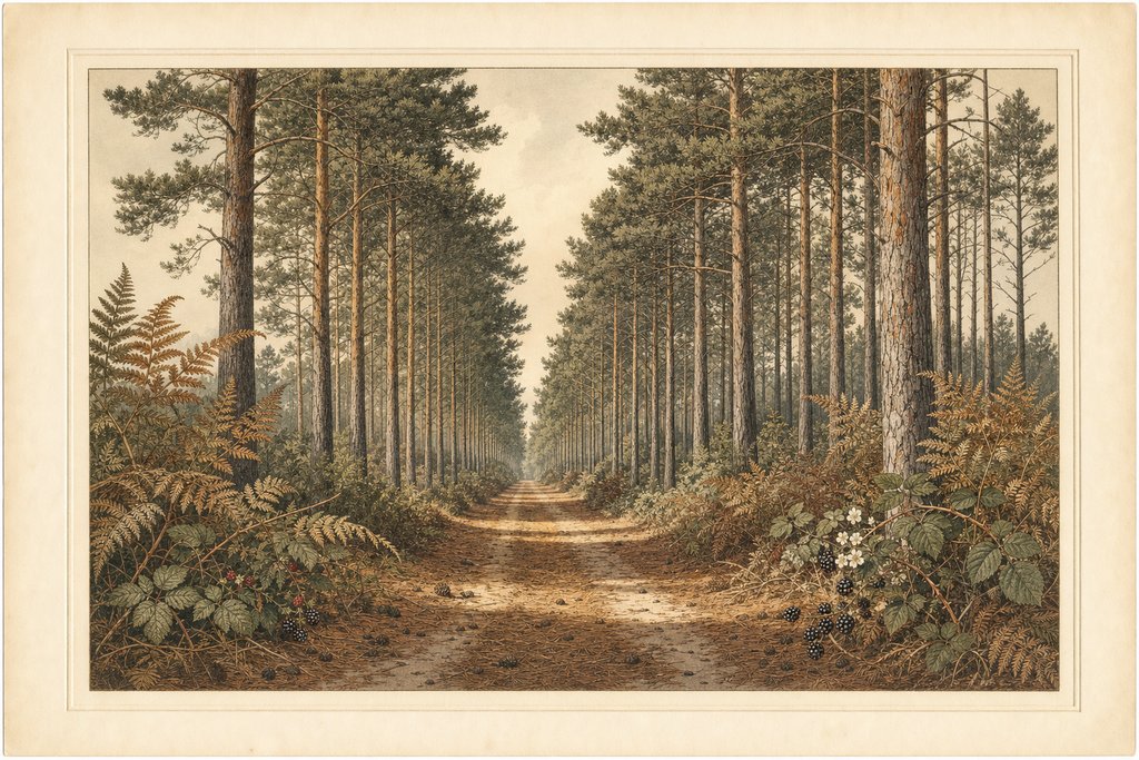
The Brandon Country Park trails are five waymarked routes from the visitor centre, and they differ far more in character than in difficulty. One stays on firm level ground inside the managed parkland. Three push out through the arboretum into Thetford Forest. The fifth is laid out for cycling rather than walking, and is long enough to fill a morning.
Why the Brandon Country Park trails carry two sets of names
The routes were renamed at some point after 2015, from colours to names drawn from the park itself. The Red Trail became the Redwood, the Purple became the Forest and Heath, and the Orange became the Firecrest. Older leaflets, guidebooks and websites still use the colour names, which causes a good deal of confusion on the ground.
| Route | Formerly | Distance | Character | Suits |
|---|---|---|---|---|
| Redwood Trail | Red Trail | 1 mile | Circular route around the heart of the park, made ground throughout | Pushchairs and all-terrain wheelchairs |
| Forest & Heath Trail | Purple Trail | 3.5 miles | Arboretum and beech avenue, then into deeper Thetford Forest | Walkers wanting the transition out of the park |
| Firecrest Trail | Orange Trail | over 6 miles | Woodland paths and forest tracks past clearings and open glades | A half-day walk on loose, undulating ground |
| Tree Trail | — | Self-guided | A walk through the arboretum collection, leaflet from the visitor centre | Anyone interested in the planting itself |
| Poacher Cycling Trail | The Poachers Cycling Trail | over 8 miles | Wide paths, narrow tracks and undulating drives through the forest | Cycling, on a hybrid or mountain bike |
The four waymarked walking routes
The Redwood Trail is the one most visitors want. A one mile circuit around the heart of the park, it stays on made ground throughout and is described by the operator as suitable for pushchairs and all-terrain wheelchairs. It takes in the arboretum planting, the pond and the open lawns without ever leaving the managed core.
The Forest and Heath Trail runs three and a half miles and is the route that shows the transition. It leaves the visitor centre through the arboretum and the beech avenue, then crosses into deeper Thetford Forest, where the ground changes from mown grass and bound gravel to pine litter and sand within a few hundred metres.
The Firecrest Trail is the long walk, over six miles of woodland path and forest track that rises and falls past clearings, dense undergrowth and open glades. It is not steep by any national standard, but the cumulative undulation and the loose surface make it a genuine half-day instead of a stroll.
The Tree Trail works differently from the others. It is a self-guided route through the arboretum collection, not a circuit measured in miles, taking in False Acacia, Monkey Puzzle and the giant redwoods. A leaflet from the visitor centre carries the key, and without it the route is much harder to follow.
The cycling route
The Poacher Cycling Trail covers over eight miles of wide path, narrow track and undulating drive through the heart of Thetford Forest. It is genuinely a cycling route and not a walk ridden slowly, and the surface varies enough that a hybrid or mountain bike handles it far better than anything with narrow tyres.
The discs on the posts are the only reliable navigation once the paths begin to braid, and the forest rides look alike at oblique junctions. Note your colour at the visitor centre and follow that one. Phone signal is unreliable under the canopy, so a route held in an app is not a substitute for reading the posts.
Choosing between the waymarked trails by surface
Surface matters more than distance when choosing between the waymarked trails. The Redwood stays firm all year. The longer routes cross loose sand and exposed tree root that drain quickly after rain but stay slow to walk, and in a wet autumn the pine litter on the Firecrest holds water in the hollows for days at a time.
Walkers who work through the five Brandon Country Park trails and want more of the same will find the wider region well covered elsewhere; the Colne Valley Regional Park guide at The Flamingo Hiker is a good example of the form, mapping out a comparable mix of water meadow, woodland and open ground on the far side of the country.
None of the Brandon Country Park trails is waymarked by destination, only by colour, and none carries distance markers along its length. That suits a circular walk and frustrates anyone trying to cut a route short partway round. Turning back the way you came is usually quicker than improvising a line across the rides.
Common questions
Which trail is best with a pushchair?
The Redwood Trail, formerly the Red Trail, is the one the park describes as suitable for pushchairs and all-terrain wheelchairs. It runs a mile around the managed core on made ground and avoids the loose sand of the outer routes entirely, which is what defeats wheels on the longer circuits.
Why do old guides use different trail names?
The routes were renamed from colours to park names after 2015, so the Red became the Redwood, the Purple became the Forest and Heath, and the Orange became the Firecrest. Older leaflets and websites still carry the colour names, and both sets refer to the same waymarked circuits on the ground today.
Can I cycle the walking trails?
The Poacher Cycling Trail is the route laid out for bikes, running over eight miles through the forest. The walking circuits are shared use in places but narrow and busy near the visitor centre, so riding them is better done slowly or avoided at the weekend, when the managed core carries most of the foot traffic.
Do I need a map to follow the trails?
Not for the waymarked trails themselves. Each route is marked by its own coloured disc on posts at the junctions, and following one colour from the visitor centre brings you back to it. A printed map helps if you plan to leave the routes, and the Tree Trail leaflet is essential for identifying the specimens.
Written by Eleanor Hollis, walks and access editor. Route names, distances and the pushchair and wheelchair description come from the park operator's own published route descriptions, and surfaces and junction behaviour come from walking them. The distances are the operator's own figures and have not been independently surveyed, so treat them as indicative when planning a timed walk.