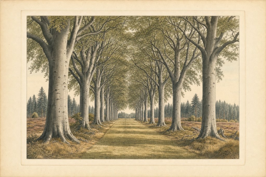
At three and a half miles, the Forest and Heath Trail is the route that shows what makes this place unusual. It begins in a planted Victorian collection and ends up in working pine forest, and the change happens quickly enough that you can feel it underfoot rather than merely observe it on a map.
The circuit leaves the visitor centre through the arboretum and along the beech avenue before crossing into deeper Thetford Forest. That beech avenue is the hinge of the walk. On one side is mown grass and specimen planting laid out for effect; on the other, ranks of pine planted for timber, with sand and needle litter underfoot.
The arboretum and the beech avenue at the start belong to a different story. Edward Bliss bought Brandon Park in 1820 with a fortune made from gunflints, and his estate workers went on to plant over a million trees. The specimen planting near the visitor centre is his, and it gives the first mile its formal, laid-out feel.
It carried the name Purple Trail until the renaming after 2015, and older material still uses it. The waymarked line has not moved. If you are working from a leaflet that predates the change, follow the purple discs and the purple route description, because they describe this same three and a half mile circuit.
Past the beech avenue the made surface gives out. From there the route runs on blown sand, pine litter and exposed root, which drains fast but walks slowly. Nothing about it is difficult, but it is the point at which ordinary shoes start to be a nuisance and wheels stop being practical altogether.
The forest section is easy navigation in principle and confusing in practice. The rides are wide, straight and well surfaced, but they meet at oblique angles and every junction looks much like the last under uniform planting. The waymark discs are the thing to follow, and the moment to check one is before you commit to a turning.
Heath appears in the second half, and it is the part worth slowing for. Open sandy ground carries heather, fine grasses and a plant and bird community that exists almost nowhere else in Britain. It is also entirely unshaded, which is a real consideration on a hot afternoon and a cold one alike.
Light on the heath behaves very differently from light in the forest. Early morning and the last hour before sunset turn the heather and grasses a warm colour that the pine stands never show, and the open sky makes it the best part of the route for watching birds in flight. Midday brings flat glare and little shade.
Heath is the older landscape of the two. Before the twentieth century this part of the Brecks was largely open sandy ground, grazed by sheep and rabbits, and the pine came later. Thetford Forest was planted by the Forestry Commission from the 1920s onward, so the open patches along this trail show what most of the district once looked like.
Allow two hours at a steady pace, and more in autumn when the litter holds water in the hollows. The route has no sustained climb, but it undulates enough over three and a half miles that the total effort is more than the flat profile suggests, particularly on the sandy stretches where each step gives slightly.
This is the natural step up from the Redwood Trail and the sensible way to find out whether the longer Firecrest route suits you. If the surface past the beech avenue feels like hard work at three and a half miles, six will not be an improvement, and that is useful to learn on the shorter circuit.
Families with older children tend to find this the right length. It is long enough to feel like a proper outing and short enough that nobody is carried home, and the changes along the way keep a walk from blurring into one long stretch of pine. Bring snacks and water, since nothing is sold beyond the visitor centre.
Dogs do well on this route, with room to run on the forest sections. Through spring and early summer the heath section holds ground-nesting birds, and close control there is a genuine conservation matter instead of a formality. Signage on site flags the relevant months, and it is worth reading and not assuming.
Common questions
Is this the same as the Purple Trail?
Yes. The park renamed its routes from colours to names after 2015, and the Purple Trail became the Forest and Heath Trail. The circuit itself is unchanged at three and a half miles. Older leaflets and websites still use the purple name, and the discs on the posts mark the same line on the ground.
Can it be walked in ordinary shoes?
The first section through the arboretum and beech avenue is made ground and presents no problem. Beyond that the route runs on blown sand, pine litter and exposed root, where trainers get uncomfortable and wet quickly. Boots are worth having for the full circuit in any season, not only in winter.
How easy is it to get lost?
The forest rides are wide and well surfaced but meet at oblique angles, and stands of planted pine look alike at junctions. Following one waymark colour solves it. Phone signal is patchy under canopy, so a route loaded in an app is worth having but is not a substitute for reading the posts.
Is the Forest and Heath Trail suitable for a pushchair?
Only for the first stretch. The arboretum and beech avenue are made ground that a pushchair handles easily, but once the route crosses into the forest it runs on soft sand, pine litter and root, where small wheels sink. Families with a pushchair are better served by the Redwood Trail, which stays on firm ground throughout.
Written by Eleanor Hollis, walks and access editor. The distance and route description come from the park operator's published material. Surface behaviour, junction difficulty and seasonal conditions come from walking the circuit across several seasons, and the stated distance is the operator's own figure, not an independently surveyed measurement, so treat it as indicative.