Orienteering works differently from everything else in the programme here, because a permanent course means the activity is available whenever you turn up rather than only on advertised event days. That changes it from something you book into something you can simply decide to do on any given morning that suits you.
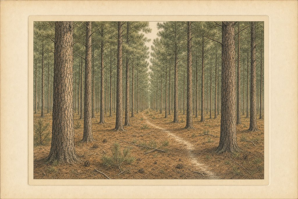
Thetford Forest suits the sport unusually well for lowland England, and the reason is the thing that frustrates ordinary walkers. Uniform planting removes the landmarks you would normally steer by, so navigation has to be done properly with map and compass instead of by recognising a hill, a building or a bend that tells you where you are.
The rides make it harder and not easier, which is counterintuitive until you have tried it. They are wide, straight and fast to run, but they meet at oblique angles and look identical in every direction, so a junction taken on assumption puts you somewhere quite different from where you think.
Getting lost is part of learning, and the forest is forgiving about it. Blocks of planting are bounded by rides or tracks, so a navigator who has lost the thread can head on a rough bearing until they meet a long straight feature, then work out which one it is from the map. Orienteers call that a catching feature.
A permanent course is marked by fixed posts instead of by the temporary kites used at organised events. You work from a map bought or downloaded beforehand, find the posts in sequence, and record them as you go, which gives you the navigation without needing an event to be running.
That format suits beginners well, because there is no clock beyond the one you choose to keep and nobody waiting at the finish. It also suits families, since a parent can walk a course at whatever pace the youngest member sets without holding up a field of competitive runners behind them.
Organised events happen periodically on top of the permanent course, run by local clubs across the wider forest. Those bring temporary controls, proper timing and courses at several difficulty levels, and they are much the best way to find out whether the sport is something you want to take further.
Take the map seriously and take a compass. Phone signal is unreliable under canopy across much of the forest, a mapping app drains a battery quickly, and the whole point of the exercise is navigating by map instead of by a blue dot that tells you where you already are.
For a first attempt, go in pairs or leave a note of the planned course with someone. The forest is quiet away from the visitor centre, and an ankle turned on a root a kilometre down a ride is a much bigger problem alone than in company. Children going round should stay within sight of an adult throughout.
The ground itself asks for boots or trail shoes. The rides are firm, but the sections between them cross pine litter, bracken and blown sand, and a course that looks flat on paper involves more effort than the contour lines suggest once the surface is giving underfoot at every step.
Each leg is worth planning before setting off on it. Experienced orienteers choose an attack point, some feature near the control that is easy to find, and navigate carefully only for the final stretch from there. Beginners who run straight at a post from a long way out tend to drift, and uniform planting punishes that drift.
The sport has a long association with this particular forest, which is not an accident of geography at all. Large blocks of publicly accessible plantation with a dense network of rides are exactly what orienteering needs, and very little of lowland England offers that combination at anything approaching this scale.
Map scale is the detail beginners most often overlook. Forest orienteering maps are drawn at a larger scale than road maps and carry their own symbol set, where a green wash means thick vegetation rather than woodland and a black dot can be a single distinctive tree. Ten minutes with the legend saves an hour.
Common questions
Do I need to book to go orienteering here?
Not for the permanent course, which is the main attraction. Fixed posts stay in place all year, you work from a map obtained beforehand, and you can turn up and start whenever you like. Organised club events are entirely separate, and those do run to advertised dates and proper entry arrangements.
Is it suitable for complete beginners?
Yes, and the permanent course is a better introduction than an event because nothing is timed unless you choose to time it. You can walk it, retrace your steps when a leg goes wrong, and take as long as you need without a whole field of competitive runners waiting impatiently behind you.
Why is navigation here harder than it looks?
Because uniform plantation removes the landmarks you would normally steer by, and the rides meet at oblique angles while looking identical in every direction. A junction taken on assumption and not on a bearing will put you somewhere quite different from where you firmly believe yourself to be standing at the time.
Can children go round on their own?
Older children who can already read a map and keep to a bearing can manage short legs with an adult waiting at a known point. For most families it works better to share the map, letting a child lead each leg while an adult checks from behind. Phone signal is patchy here, so separating without a plan is unwise.
Written by Eleanor Hollis, walks and access editor. The permanent course and the organised events are run by local clubs and by the landowner instead of by this guide, so maps, entry details and any changes to the course come from them directly, and are deliberately not reproduced anywhere on this page.